Introduction
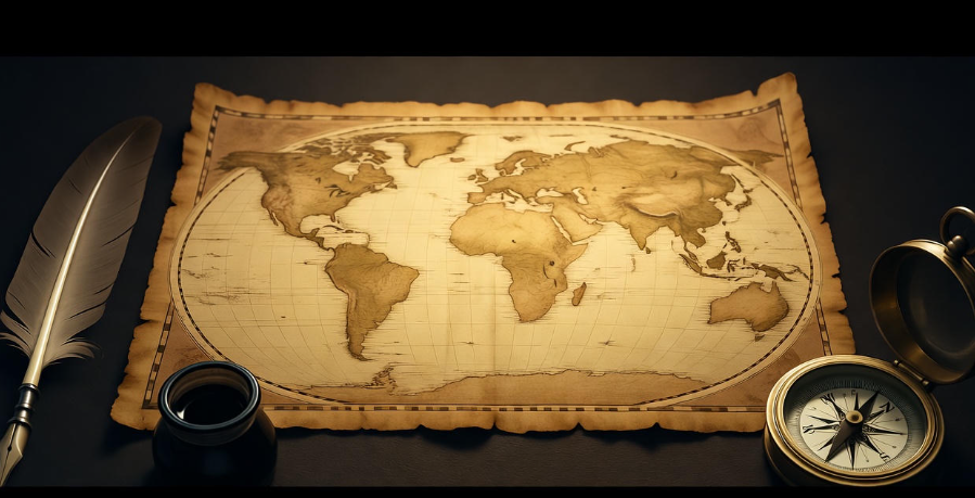
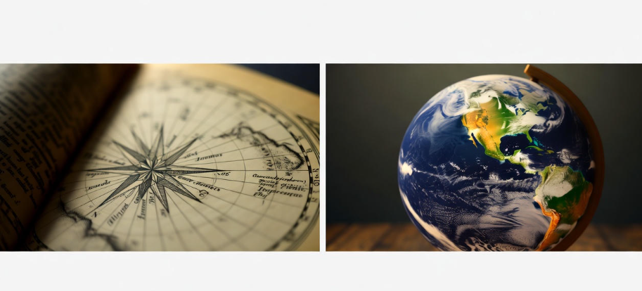
The idea of mapping the world has fascinated humans for thousands of years. Imagine a time when people had no GPS, no Google Maps, and no satellites to guide them. Yet, they still wanted to understand the world around them. The first world maps were born from curiosity, exploration, and a desire to make sense of our surroundings.
Ancient Beginnings
The earliest attempts at mapping can be traced back to ancient civilizations. The Babylonians, around 600 BCE, created some of the first known maps. These were clay tablets with simple drawings showing rivers, mountains, and cities. They were not precise, but they provided a basic sense of geography.
The Greeks, especially a man named Anaximander, took mapping a step further around 550 BCE. Anaximander is credited with creating one of the first maps that showed the Earth as a cylinder floating in space. It wasn’t perfect, but it represented an important leap in thinking about the world as a connected place.
Maps in the Middle Ages
During the Middle Ages, maps were often more symbolic than accurate. Many medieval maps were centered around religion. The famous “T and O” maps, for example, divided the world into three continents: Asia, Europe, and Africa. Jerusalem was often placed at the center. These maps reflected how people saw the world spiritually, rather than geographically. ✝️
The Age of Exploration
Everything changed during the Age of Exploration (15th–17th centuries). Explorers like Christopher Columbus, Vasco da Gama, and Ferdinand Magellan traveled across the oceans, discovering new lands. Their voyages needed maps for navigation, so maps became more practical and accurate. This period gave birth to the first truly global maps.
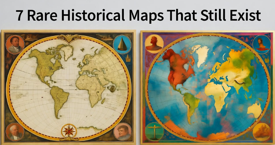
One key figure was Gerardus Mercator, a Flemish cartographer. In 1569, he created the Mercator projection, a way of representing the curved surface of the Earth on a flat map. This map made it easier for sailors to navigate because straight lines on the map represented constant compass directions. Although it distorted the size of some continents, it became one of the most important maps in history. ⛵
The Science Behind Early Maps
Creating a world map in ancient and medieval times was not easy. Cartographers had limited information. They relied on explorers’ notes, travelers’ stories, and astronomical observations. They used instruments like the astrolabe to measure latitude and simple tools for estimating distances.
Maps also reflected knowledge gaps. For example, early maps often had mythical creatures drawn in unknown territories. Sea monsters, giant whales, and mysterious islands were included. These elements show that mapping was not just scientific but also imaginative and cultural.
Tables and Comparisons
Here’s a small table showing different periods and characteristics of early world maps:
| Era | Key Features | Famous Map | Main Purpose |
|---|---|---|---|
| Babylonian (~600 BCE) | Simple, clay tablets | Babylonian World Map | Record cities & rivers |
| Greek (~550 BCE) | Cylindrical Earth, connected lands | Anaximander’s Map | Philosophical & geographic understanding |
| Medieval (~500–1400 CE) | Religious focus, symbolic | T-O Maps | Show spiritual worldview |
| Age of Exploration (1400–1700 CE) | Practical, navigational, global | Mercator Map | Navigation & trade |
The Role of Imagination
Maps are more than tools—they are stories. The first world maps combined observation, imagination, and culture. They show how humans tried to understand a world that seemed infinite. Each map tells a story about what people knew, what they feared, and what they dreamed about.
Modern Reflections
Looking back at the first world maps today, we can appreciate both their limitations and their beauty. They remind us that exploration and curiosity are timeless. From clay tablets to digital maps, the human drive to map our world has never stopped.
-
Similar topic: The Deepest Oceans and What Lies Beneath
Fun Facts
- Some early maps included unknown continents labeled as “Terra Incognita” (unknown land).
- The Mercator map is still used today for sea navigation.
- Medieval maps often placed east at the top, not north.
The Story Behind the First World Map
FAQs
Q1: Who made the first world map?
A: The first known world map was created by the Babylonians around 600 BCE. However, Anaximander, a Greek philosopher, is credited with one of the earliest maps showing the Earth as a connected surface.
Q2: Why were medieval maps inaccurate?
A: Medieval maps were often symbolic, not geographic. They focused on religious and cultural views, placing places like Jerusalem at the center of the world.
Q3: What is the Mercator projection?
A: The Mercator projection, created by Gerardus Mercator in 1569, is a way to show the curved Earth on a flat map. It helped sailors navigate by representing straight compass lines as straight lines on the map.
Q4: Did early maps include imaginary elements?
A: Yes, early maps often included mythical creatures, unknown lands, and fantastical illustrations. This reflected both limited knowledge and cultural imagination.
Q5: How did explorers influence map-making?
A: Explorers like Columbus and Magellan provided accurate information about new lands. This improved maps, making them more practical for navigation and global understanding.
Conclusion
The story behind the first world map is a journey through human curiosity, imagination, and discovery. From clay tablets to Mercator’s projection, maps have always reflected the way humans see the world. They are more than just tools—they are stories, blending science, culture, and creativity. Mapping the world is, in a way, mapping our own journey as a species.
The first world maps remind us: even when knowledge is limited, imagination and curiosity can open up new worlds.